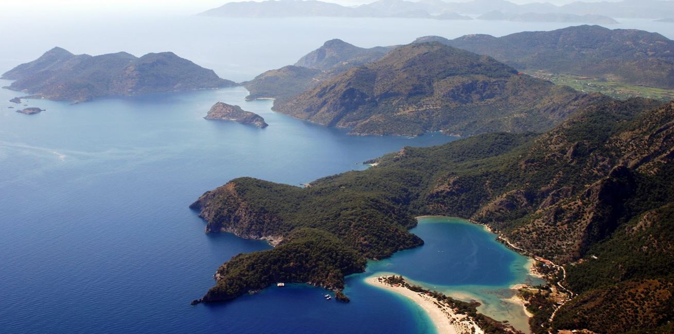
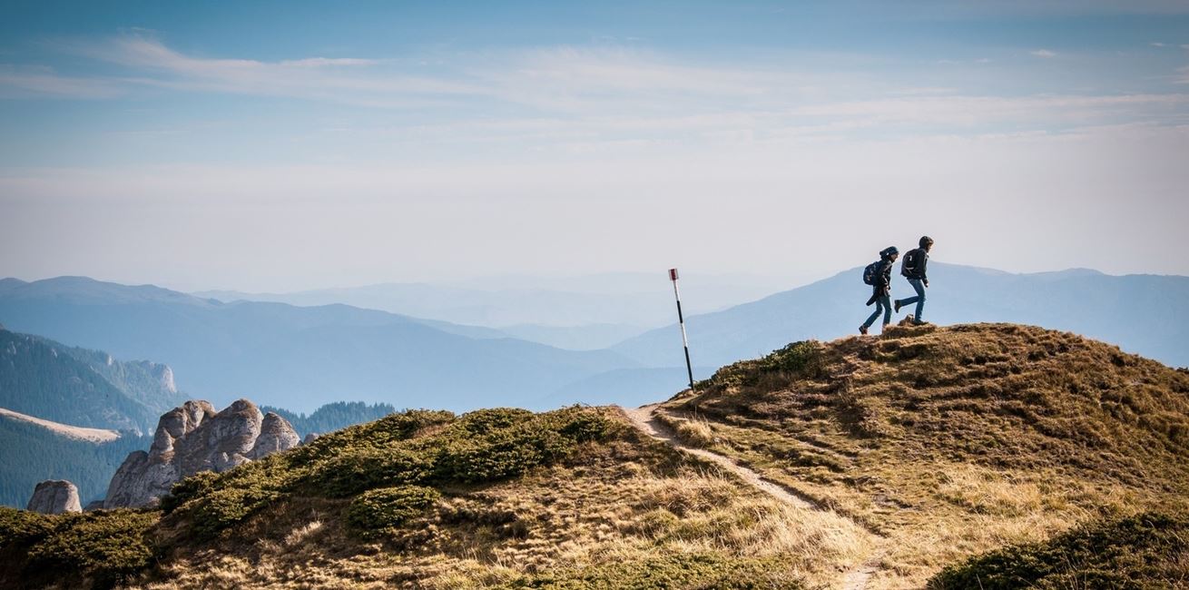
What to expect
The route runs from Ölüdeniz (near Fethiye) to Hisarçandır, around
20km from Antalya. It's named after ancient Lycia - and is often
cited as one of the world's great coastal walks.
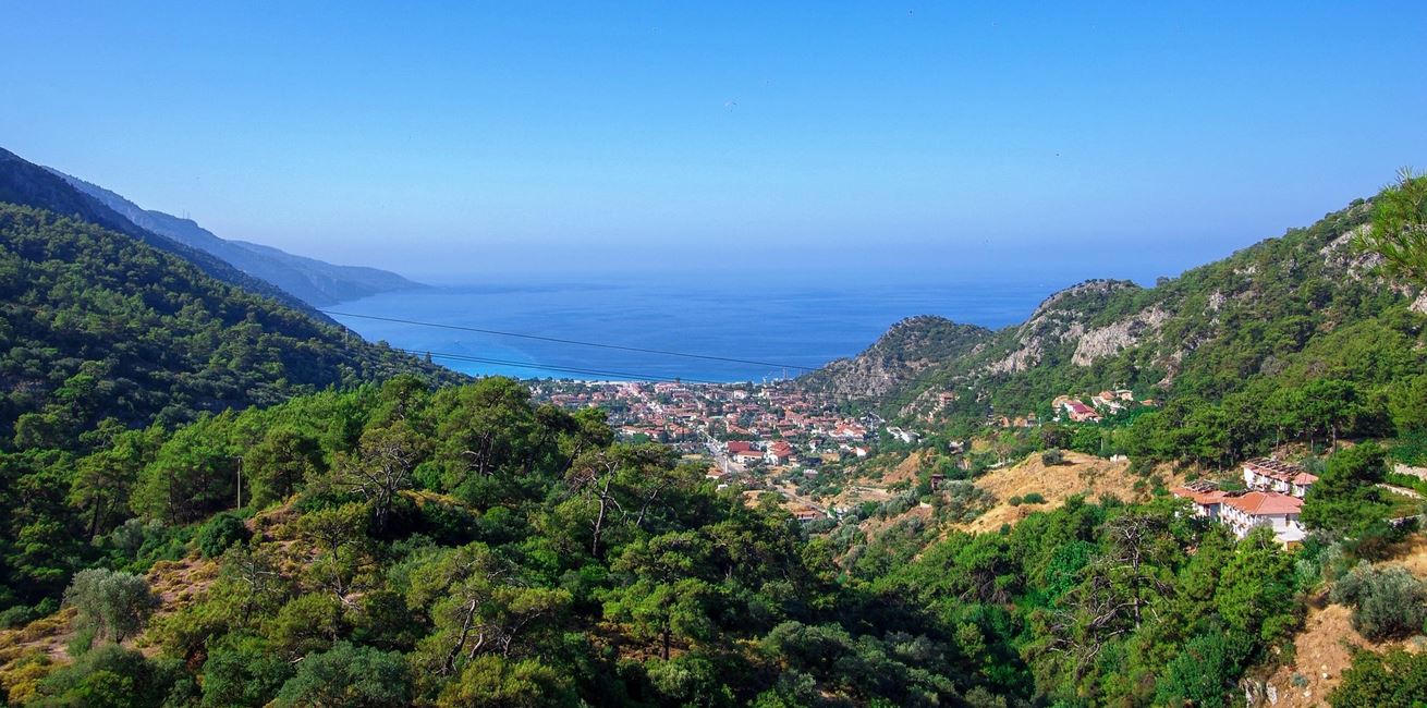
Expect stony ground underfoot, steady ascents and descents, and
long, open stretches where shade is limited. Spring and autumn are
the most comfortable seasons; mid-summer heat can be intense, while
winter weather can bring heavy rain.
Waymarks are a half red / half white rectangle, painted on rocks,
walls and poles. Where the trail twists, they appear more
frequently. Red/yellow markings indicate side routes; "<" marks
warn of switchbacks rather than directional arrows.
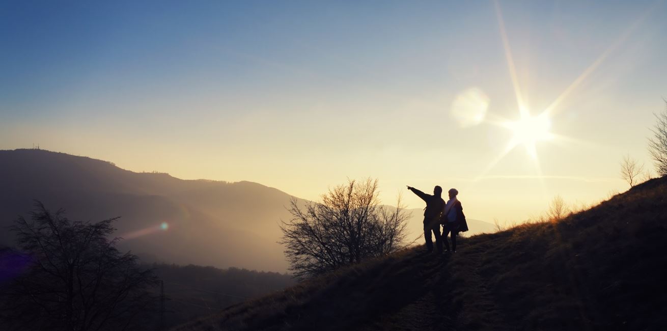
Accommodation & sensible bases
Culture Routes in Turkey share useful
information on guesthouses, camping spots and local contacts along
the trail. In some stretches, camping may be the simplest option -
especially if you're walking longer days.
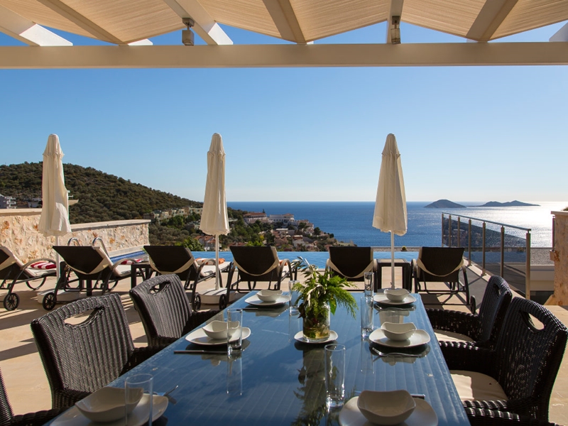
If you'd like a comfortable pause mid-route, Kalkan is an ideal base
- sea views, contemporary stays, and a slower rhythm before the
next leg.
Consider a mountain stay in Islamlar, with local
fresh trout
restaurants nearby.