The land that shaped its people
Ancient Lycia runs from Ekincik to as far as Antalya, a semi-circle
of some of the most mountainous and wild landscape in Turkey. High
ridges to west and east, with peaks rising well over 3,000 metres,
separated Lycia from neighbouring regions. A rugged plateau to the
north cut it off from central Anatolia, while mountain ranges
dropped precipitously into the sea along the coast.
During the Ottoman period it was called Uc, meaning "the
Frontier", a name that captures the character of the region. Even
into early summer, the highest peaks, including Akdağ and Bey Dağı,
can remain snow-covered on their upper slopes.
Independence, war and defiance
As the landscape was wild, so too were the men who lived here. The
Lycians were renowned for defending their freedom at all costs. In
546 BC the Persians defeated Croesus and advanced upon Lycia. On
the plain of Xanthos, the Lycians met a much superior force, fought
with gallantry, and were eventually forced back within their
walls.
"Having sworn to do or die, they marched out to meet the enemy and
were killed to a man."
Herodotus, on Xanthos
Five hundred years later in 42 BC, during Brutus' siege of Xanthos,
the story is said to have repeated itself. Such was the Lycian
attachment to independence that Lycia was among the last regions to
be incorporated into the Roman provinces in Asia Minor.
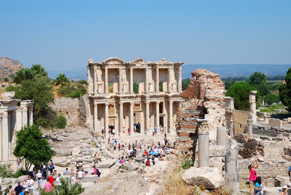
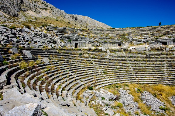
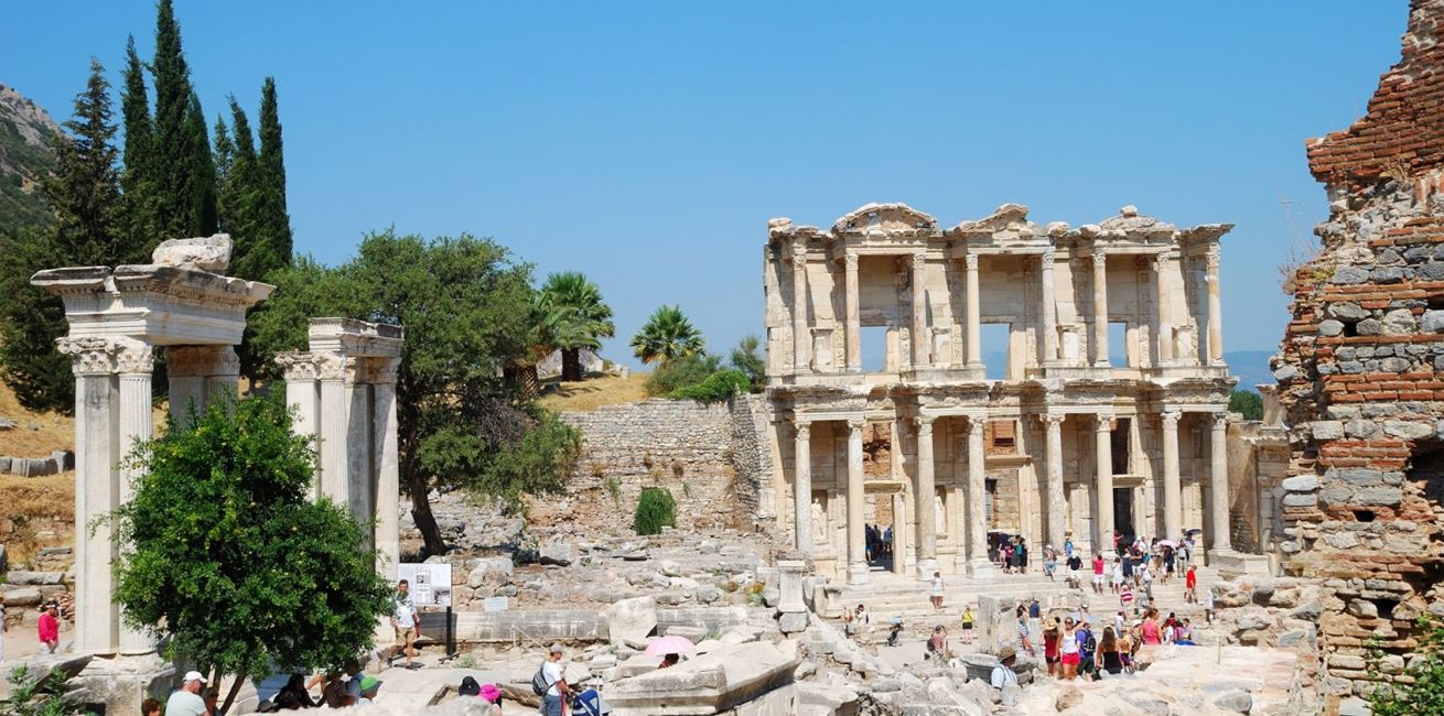
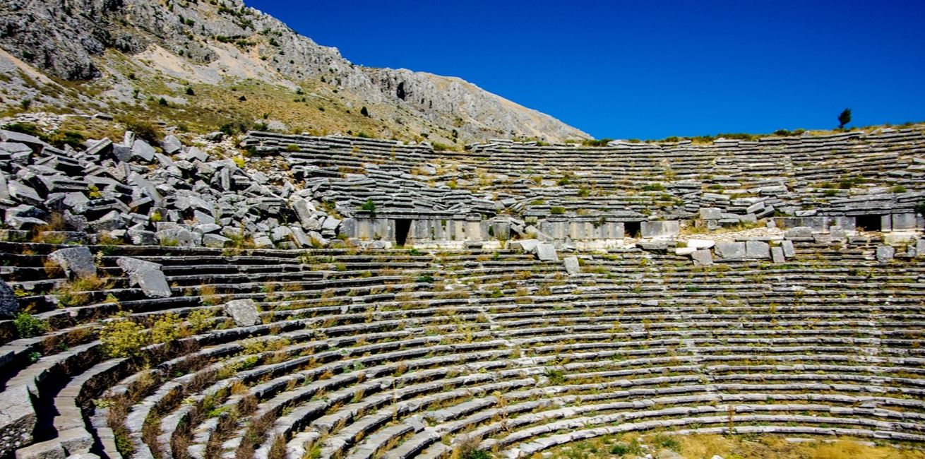
Stone cities and classical remains sit close to the coast, a
reminder of the civilisations that moved through this region.
Across Lycia, theatres, tombs and inscriptions surface in
unexpected places, often in the most dramatic terrain.
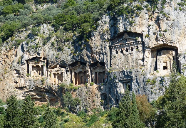
Cities, tombs and beliefs
In this remote region the sites of over forty cities have been
identified. The most striking legacy is the tombs and sarcophagi
carved into cliffs and hillsides. Ancestor worship appears to have
been central, with elaborate tombs, inscriptions and curses against
those who would tamper with the dead.
Five distinct types of tomb are often referenced: pillar-tombs,
temple-tombs, house-tombs, pigeon-hole tombs and sarcophagi. Even
today, it is difficult not to think of parts of Lycia as a vast
necropolis, peopled with the shadowy figures of nobles and
warriors.
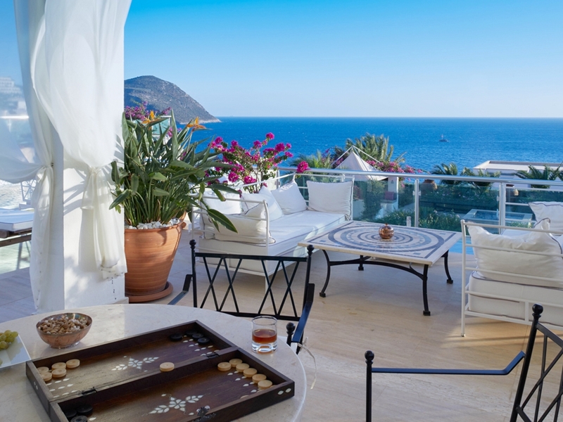
Kalkan's story
Kalamaki, as Kalkan was known historically, is thought to have been
founded 150 to 200 years ago by traders from the Greek island of
Meis, which lies just offshore from Kaş. The harbour, long the only
safe haven between Fethiye and Kaş, encouraged settlement from both
Greek and Turkish communities.
Much of Kalkan's early life was shaped by trade. Produce such as
charcoal, silk, cotton, olive oil, timber, grapes and sesame
travelled by camel from the plains and mountains, then left by ship
for ports across the wider Ottoman world.
In the mid-20th century, population exchanges and changing
opportunities drew many people away. Later, the completion of
coastal roads, improvements to access, and the growth of tourism
helped drive Kalkan's modern resurgence.
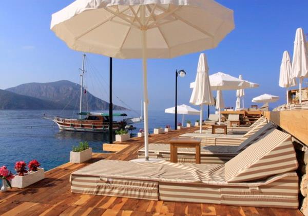
The "Pirate Coast"
The Lycian shoreline, with its coves and islands, was long
associated with maritime raiders. Campaigns to curb piracy were
mounted from antiquity through to the modern period, with the
coastline repeatedly returning to its old reputation when power
shifted.
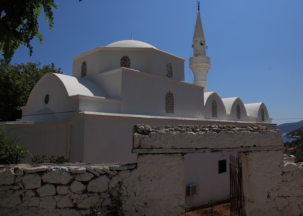
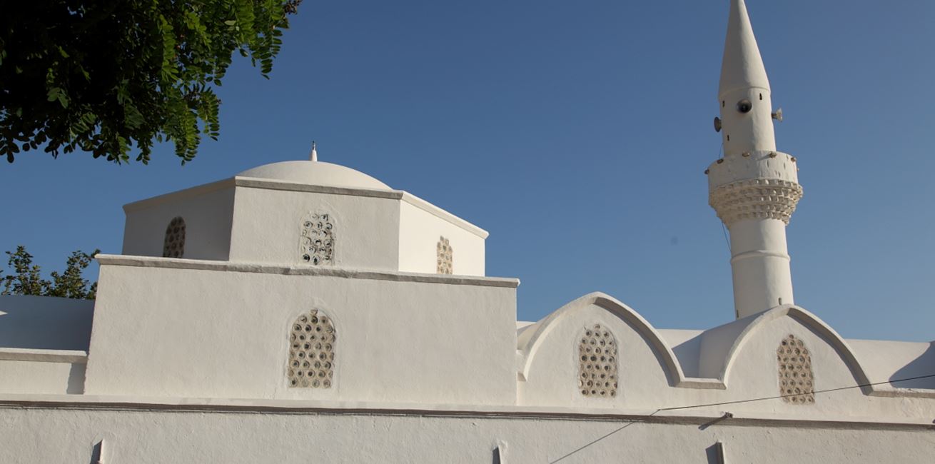
Kalkan's mosque, originally a Greek Orthodox church, is one of the
town's earliest buildings.
Further reading
Note: Historical accounts vary across sources. If you are planning
a walk or day trip, we can point you towards trusted local guides
and current route advice.